RVing in Severe Weather
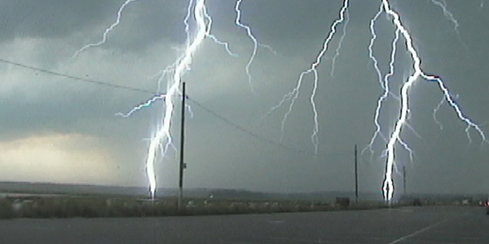
People who spend a lot of time outdoors — like those who are reading this article — should be well aware of the hazards that dangerous weather can bring. This is especially important in certain parts of the country, but during the summer the weather can change quickly across much of the country. We wanted to take this opportunity to give an overview of the National Weather Service’s (NWS) products and services and to give some information on lightning safety.
First, let’s provide a few critical definitions:
Thunderstorm — A cumulonimbus cloud that becomes electrically charged and produces lightning. Lightning quickly heats the air around it to 50,000 degrees which causes a rapid expansion of that air. Thunder is the sound we hear due to that expansion.
Severe Thunderstorm — A thunderstorm that produces either a wind gust in excess of 58 mph or hail that is 1” in diameter (size of a quarter) or larger, or both. Severe thunderstorms can occasionally spawn a tornado.
Tornado — A violently rotating column of air in contact with the ground (called a funnel cloud if it’s not in contact with the ground). Tornado damage is ranked from EF0 to EF5 (Enhanced Fujita Scale).
Flash Flood — a rapid and extreme flow of high water into a normally dry area, or a rapid water level rise in a stream or creek above a predetermined flood level, beginning within a short time of the causative event (e.g., intense rainfall, dam failure, ice jam). A flash flood is a life-threatening situation – not just an inconvenience. Flash floods can occur anywhere…in hilly/mountainous terrain or in urban areas. Ongoing flooding can intensify to flash flooding in cases where intense rainfall results in a rapid surge of rising flood waters.
Watches vs. Warnings
In general, a Watch means there is the potential for the event to occur, whereas a Warning means that the event is either occurring (based on spotter reports) or imminent (based on radar signatures). More specifically:
Severe Thunderstorm Watch — Conditions are favorable for the development of severe thunderstorms in and close to the Watch area. The Watches are issued by the NWS Storm Prediction Center in Norman, Oklahoma, usually a few hours in advance. They cover relatively large portions of states. You should go about your normal business but keep a close eye on the radar and sky and be prepared to move to a place of safety if threatening weather approaches.
Tornado Watch — Conditions are favorable for the development of severe thunderstorms and also for tornadoes in and close to the Watch area. The Watches are issued by the NWS Storm Prediction Center in Norman, Oklahoma, usually a few hours in advance. They cover relatively large portions of states. Consider curtailing plans for outdoor activities and keep a very close eye on radar and on the sky — and know what to do and where you would go if a tornado were to strike.
Flash Flood Watch — These watches are issued by your local National Weather Service Forecast Office and may cover one or more counties or portions of states. They are issued when intense rainfall, a dam failure or an ice jam are expected to cause rapid rises on streams to above flood level, or for significant urban flooding.
Meanwhile, severe thunderstorm, tornado or flash flood warnings are issued by the local NWS Forecast Office. It indicates that the phenomena are either occurring or imminent. Immediate action should be taken to protect your life and property.
Means of Notification:
- NOAA (National Oceanic and Atmospheric Administration) Weather Radio All Hazards (NWR) — This is a nationwide network of radio stations that broadcast continuous weather information directly from the nearest National Weather Service Office. NWR broadcasts official NWS warnings, watches, forecasts, and other hazard information 24 hours/day, 7 days/week. Broadcasts are found in the VHF Public Service Band at these seven frequencies (MHz): 162.400, 162.425, 162.450, 162.475, 162.500, 162.525, and 162.550.
- Wireless Emergency Alerts (WEA) are emergency messages sent by the NWS and other government alerting authorities through your mobile phone carrier. WEA-capable smartphones automatically receive these messages during an emergency. All tornado warnings and those flash flood warnings that are tagged by the local NWS Forecast Office as being either “considerable” or “catastrophic” are automatically alerted. Beginning in the summer of 2021, severe thunderstorm warnings that are classified by the NWS as being destructive (baseball- or larger-size hail and/or 80+ mph wind gusts) will be alerted via WEA. Alerts for storms of lesser severity will not be transmitted via WEA, although such storms are still capable of damage. For more information, visit weather.gov/wrn/wea.
NWRs devices equipped with a tone-alert feature will alarm when any short-fused warning is issued (like a severe thunderstorm, tornado or flash flood warning). It can wake you up at night to alert you to the danger. For more information, visit weather.gov/nwr/.
And, of course, you can — and should — avail yourself of local news media; there also are private weather company apps available.
Lightning Essentials
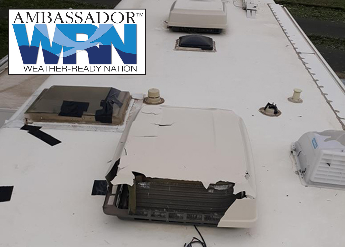
Lightning kills about 25 people in the United States each year — and hundreds more are severely injured. Just remember the old adage, “When thunder roars, go indoors!” Many people wait far too long to get to a safe place when thunderstorms approach. Here are some lightning safety tips to consider the next time you head out in your RV.
Lightning: What You Need to Know
- No place outside is safe when thunderstorms are in the area!!
- If you hear thunder, lightning is close enough to strike you.
- When you hear thunder, immediately move to a substantial building with electricity or plumbing or an enclosed, metal-topped vehicle with windows up — unfortunately most if not all RVs do not include a metal top.
- Stay in safe shelter at least 30 minutes after you hear the last sound of thunder.
Indoor Lightning Safety
- Stay off corded phones, computers and other electrical equipment that put you in direct contact with electricity.
- Avoid plumbing, including sinks, baths, and faucets.
- Stay away from windows and doors and stay off porches.
Last Resort Outdoor Risk Reduction Tips
If you are caught outside with no safe shelter anywhere nearby the following actions may reduce your risk:
- Immediately get off elevated areas such as hills, mountain ridges or peaks
- Never lie flat on the ground
- Never shelter under an isolated tree
- Never use a cliff or rocky overhang for shelter
- Immediately get away from ponds, lakes and other bodies of water
- Stay away from objects that conduct electricity (barbed wire fences, power lines, windmills, etc.)
Remember, NWS warnings and their subsequent alerts are only for severe thunderstorms with large hail, damaging winds or even tornadoes — but ordinary thunderstorms are much more common and can be deadly because of the lightning threat. It’s not possible to issue a warning for every thunderstorm — it is up to you to be aware of the forecast and to be on the lookout for threatening weather conditions.
Before heading out for the day, you can brief yourself by reviewing the local NWS Forecast Office’s page (visit weather.gov and then click your location on the map or type in your zip code) to see if thunder is in the forecast. You can also visit the Storm Prediction Center website to see the potential for severe thunderstorms at spc.noaa.gov/products/outlook/.
Don’t take a chance with your life. Remember, when thunder roars, go indoors — if you can hear thunder, you are close enough to be struck by lightning.
LIGHTNING MYTHS AND FACTS
Myth: If you’re caught outside during a thunderstorm, you should crouch down to reduce your risk of being struck.
Fact: Crouching doesn’t make you any safer outdoors. Run to a substantial building or hard-topped vehicle.
Myth: Lightning never strikes the same place twice.
Fact: Lightning often strikes the same place repeatedly, especially if it’s a tall, pointy, isolated object. The Empire State Building is hit an average of 23 times per year.
Myth: If it’s not raining or there aren’t clouds overhead, you’re safe from lightning.
Fact: Lightning often strikes more than three miles from the center of the thunderstorm, far outside the rain or thunderstorm cloud. “Bolts from the blue” can strike 10-15 miles from the thunderstorm.
Myth: Rubber tires on a car protect you from lightning by insulating you from the ground.
Fact: Most cars are safe from lightning, but it is the metal roof and metal sides that protect you, not the rubber tires. When lightning strikes a vehicle, it goes through the metal frame into the ground. Don’t lean on doors during a thunderstorm.
Myth: A lightning victim is electrified. If you touch them, you’ll be electrocuted.
Fact: The human body does not store electricity. It is perfectly safe to touch a lightning victim to give them first aid. This is the most chilling of lightning myths — imagine if someone died because people were afraid to administer CPR!
Myth: If outside in a thunderstorm, you should seek shelter under a tree to stay dry.
Fact: Many lightning victims were under trees when they were struck. Better to get wet than fried!
Myth: If you are in a house, you are 100% safe from lightning.
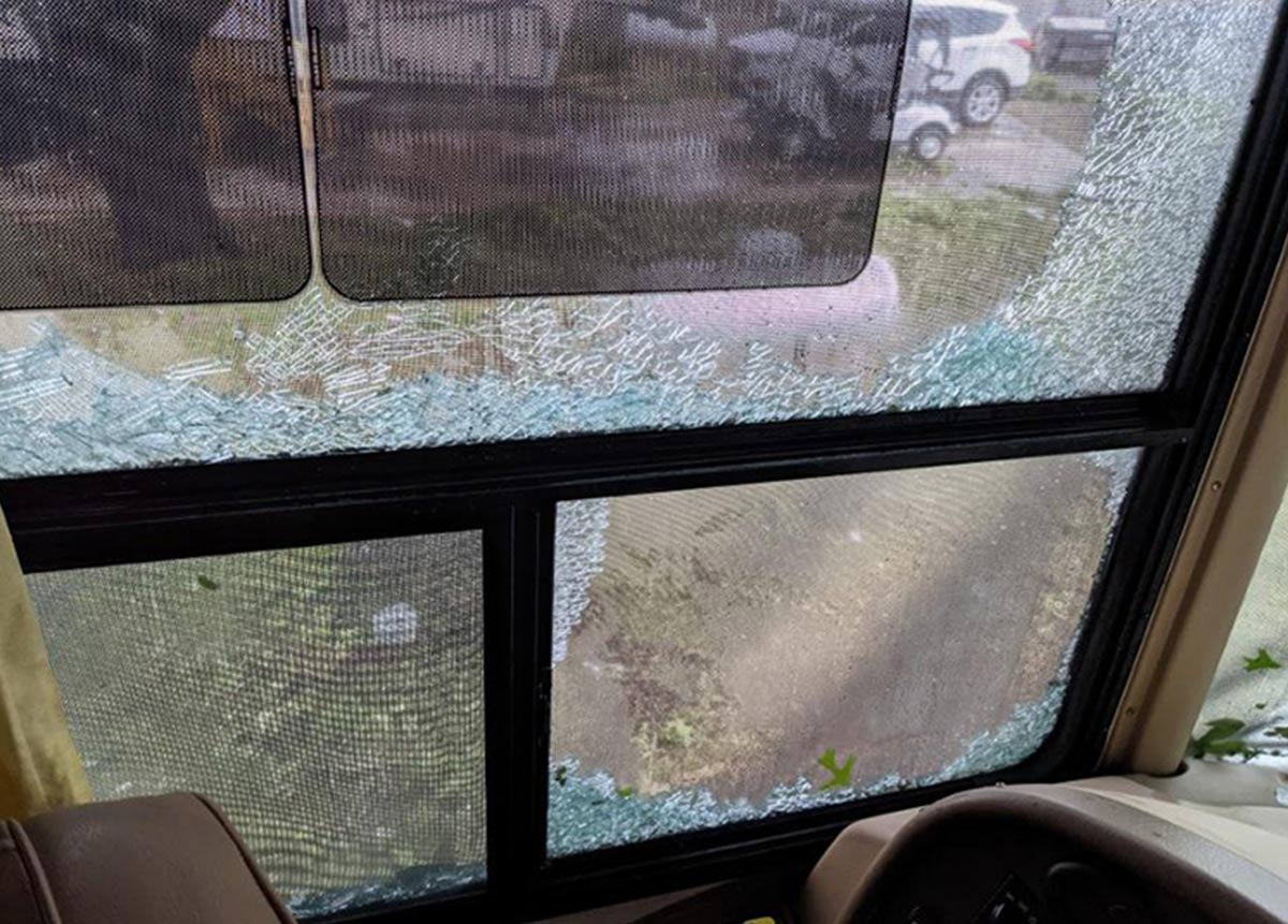
Fact: A house is a safe place to be during a thunderstorm as long as you avoid anything that conducts electricity. This means staying off corded phones, electrical appliances, wires, TV cables, computers, plumbing, metal doors and windows. Windows are hazardous for two reasons: Wind generated during a thunderstorm can blow objects into the window, breaking it and causing glass to shatter; and lightning can enter the home via metal components in the window frame.
Myth: Structures with metal, or metal on the body (jewelry, cell phones, MP3 players, watches, etc.), attract lightning.
Fact: Height, pointy shape, and isolation are the dominant factors in determining the most likely object that a lightning bolt will strike. The presence of metal makes absolutely no difference in where lightning strikes. When lightning threatens, take proper protective action immediately by seeking a safe shelter; don’t waste time removing metal. While metal does not attract lightning it does conduct it, so stay away from metal fences, railing, bleachers, etc.
Myth: If trapped outside and lightning is about to strike, I should lie flat on the ground.
Fact: Lying flat increases your chance of being affected by potentially deadly ground current. If you are caught outside in a thunderstorm, keep moving toward a safe shelter.
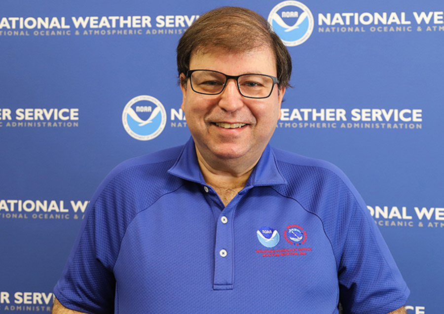
Glenn Field has been the Warning Coordination Meteorologist (WCM) for the National Weather Service (NWS) Forecast Office in Taunton (now Norton), Mass., since October 1993. As WCM, he is responsible for ensuring that customers of weather forecasts and warnings are able to receive the products and understand what they mean. He gives many presentations to police, fire, emergency managers and school groups and is responsible for coordinating and implementing new procedures at the NWS, for the quality assurance of products, and is in charge of the SKYWARN volunteer weather observers’ program. Glenn holds a M.S. Degree in Meteorology from the University of Wisconsin–Madison.
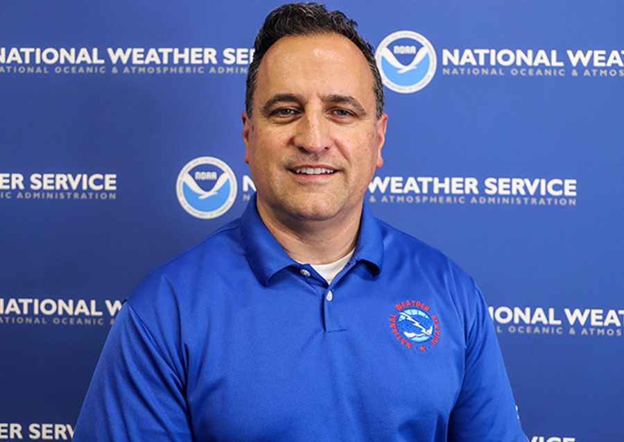
Frank Nocera has been a Lead Forecaster for the National Weather Service (NWS) Forecast Office in Norton since February 2003. As Lead Forecaster, he is responsible for overseeing all products and services on shift, as well as supervising forecasters in operations. Frank also manages the office’s Impact Decision Support Services program, which involves working closely with emergency managers from cities and towns throughout Mass., Rhode Island and Conn. He also manages the office event review team, which provides the forecast staff with observations and best practices after significant weather events. Frank holds a B.S. Degree in Meteorology from the University of NY at Albany.
Already a Subscriber? Click here for Access to the Full Issues.

